Battlefield Guide Services

Wednesday, June 5, 2013

Harvest of Death - The Question of Stereo Card #242 - The False Horizon Tree Line

      July 6th will be here before you know it, and with it will come the 150th anniversary of the taking of the famed "A Harvest of Death" and its stereo companion version, #242 from Alexander Gardner's catalog: "Evidence of how severe the contest had been on the right at the Battle of Gettysburg."
      Below, is a full print from the original glass negative in the collection of the Library of Congress. "242" is scratched in the center, along the line of the septum that separated the two lenses in the body of the camera. This negative is what would have been used to create the two 3" X 3" prints for the stereo card Gardner offered. The current condition of the negative shows both damage from poor storage conditions, as well as emulsion deterioration, and a large, white area along the top of the right hand side when prints are made from it.
      The overall poor quality of the negative left Gardner with a sub-par image, one that probably limited his production and sales of stereo card #242. It is odd that he would have continued to offer the card. In my research, I have found only two (updated) published copies of the card, and its visual quality does leave much to be desired. I will include this image later in the posting, as we discuss the false impression of a distant tree line. In preparation for this blog installment, I consulted with my good friend, and expert wet plate photographer, Robert Szabo. Bob had suggested that what I initially had thought to be an overexposure of this area was most likely created by a paper masking material. In an effort to salvage what he could, it is evident that Gardner created the paper mask to maximize the appearance of a horizon line, and create a white sky whereas the overall result without the masking would have contained little contrast from the main subject matter. This has been confirmed by a physical examination of the original negative in the Library of Congress collection, thanks to the assistance of the Curator of Photography, Carol Johnson. Paper masking, and/or the application of opaque materials to block undesirable elements, was not an uncommon practice.  Let's look at the right side of the negative in greater detail below.
      Note the edge created by the masking, indicated by the downward arrow. The other arrows point to specific flaws of, and on, the emulsion surface. They show cracking in the emulsion, either from improper pouring of the collodian, application of varnish, and/or moisture damage over time. One spot creates a blemish that prints white, as if by an opaque material that got on the surface sometime after initial prints were produced. A trimmed albumen print of this right side is shown below. Note how the horizon line and sky are washed out. Also note the blemishes caused by the damaged emulsion, one just under the legs of the far left figure, and the other, extending horizontal from the hand of the far right figure, exactly where the blemishes appear on the negative, proving the print was made from this negative. We will revisit these blemishes and their cause, later in this posting. Click on any of these images for closer inspection. Print from the Library of Congress, Prints and Photographs Collection.
      Below, another version made from the same negative, with a longer exposure during the printing out process. Note the streaks evident through the emulsion, probably created in the developing process of the negative. The image is stronger, with greater detail, but it does show, even more, the poor quality of the original negative. We also begin to see a false horizon line created by the paper masking.
     Below is the only known copy of the published stereo view that I have found, brought to my attention by Garry Adelman in August of 2012. Garry believed that this provided proof that its visible horizon line was the same as the full plate version, and thus disproved my earlier assertion that the upper third of the full plate print was an artistic contrivance. The link to that posting can be found by clicking here. However, as we see here, the right half of the negative, mounted to the left when published to create the stereo effect, does present the false horizon line, created by the masking. This is clearly an effort by Gardner to make his stereo version appear similar to the full plate version. We can also see how poor the overall image is compared to the beautiful and contrasting images otherwise produced by Gardner. Image courtesy of Garry Adelman.
     To illustrate how the two sides are exchanged, right to left and left to right, I have cropped and moved the  image of the LOC print below, also reversing it to appear as a negative.
     Below is a further cropping, presented as a positive, of the two sides closely approximating the hand trimmed prints on the published stereo view. The white arrow on the left side points to the line created by the masking. Note the dark area to the right of center, as well as the extreme right. Click on the images for larger viewing. Compare that to the published card, leaving no doubt that  this is indeed the original negative used to create catalog # 242. This also proves that the white blemishes damaged the negative at a point after the intitial 1863 publication of the stereo card.
   Below, I have sized the published images to compare to the negatives above. Courtesy Garry Adelman.
Below, I have upped the contrast of the LOC images to provide greater detail, both as a positive, and negative. The blemishes compare to those on the more contrasting print seen earlier. 

Below, the actual glass negative for #242, shown emulsion side down. The masking is applied to the non emulsion side. Photo courtesy of Carol Johnson, Curator of Photography, Library of Congress.
Below, the original negative for # 242, shown emulsion side up. Photo courtesy of Carol Johnson, Curator of Photography, Library of Congress.
Below, a close up of the paper masking material glued to the original negative. Photo courtesy of Carol Johnson, Curator of Photography, Library of Congress.
 Below, a close up of orange staining of the emulsion surface which create the white blemishes on the positve prints. Photo courtesy of Carol Johnson, Curator of Photography, Library of Congress.
     As discussed in previous posts, we can now see that unexplained issues plagued Gardner and his crew during the production of the southward images, both full plate and stereo, during the July 6 shooting of the "Harvest of Death" series. In both instances, perhaps direct sun, and possible chemistry issues, the horizon and sky would not photograph appreciably, something that did not occur  when photographing the same bodies in the near opposite direction, creating the image, "Field Where General Reynolds Fell", as seen in the prior posting available by clicking here.

     Above, the full plate version of "Harvest of Death" with the extensive mimicking of the false horizon line. The artistic modification of the upper third of the image has been detailed previously in this blog at the following link: click here.

The actual location and true horizon line as seen in October of 2012, along Reynolds Avenue South.
Further details from my prior on-site investigation can be found at the following link: click here.


Here's a bonus I'll add, another copy of #242, this one from the New York Historical Society collection. Still problematic, and clearly made from the poor negative. Added 4/25/17.


Wednesday, May 8, 2013

The Imprint of Human Experience and the Juxtaposition of Place and Time. Back to the Future.

     Behind a Charles Street warehouse, Fredericksburg, Virginia. Wounded soldiers of the Union Sixth Corps, May 20, 1864. Obstructions at the location today severely limit the scope of a then and now comparison, thus the radical degree of cropping from the original exposure, seen below, by James Gardner.
     Below, taken diagonally northeast across a former courtyard from the above scene, the Fredericksburg Baptist Church on Princess Anne Street. The courtyard today serves as a parking lot for local merchants. This composite photograph illustrates a car occupying this precise location, seemingly drawing the attention of the 1864 onlookers. What an experience that would be. Where is Marty McFly?

Saturday, May 4, 2013

Thousands Begin to Descend on Spotsylvania Courthouse - Ready to Reenact Chancellorsville's 150th

All photographs copyright 2013 by John F. Cummings III

     Friday, May 3, 2013. The village of Spotsylvania Courthouse is preparing to host a rather large-scale, commemorative reenactment of the Battle of Chancellorsville for the 150th Anniversary. The scale of the event is immense. Traffic into the region is anticipated to be very heavy, with tens of thousands of spectators anticipated over the two day event. Meanwhile, on the actual Chancellorsville battlefield, about six miles directly north of this site, the National Park Service has been hosting wonderful tours and interpretive programs.
     Your blog host will be on hand with camera at the ready. We shall see what we shall see.
 Mounted troops recon the countryside.
 Military musicians of all ages gather to entertain the troops.
 Huge camps begin to cover the landscape. This one is right to next to a Spotsylvania Battlefield,
 National Park Service border, near Burnside Drive and Route 208. The open field is NPS property.
"Union" camping area is separated from the NPS property by this gravel road put in place for the event.
In a wedge of land recently created by the Courthouse Bypass, an artillery page has moved in.
With perhaps four thousand re-enactors now expected to attend, this will be the largest gathering of the blue and gray on this ground since May 1864. It will be an interesting weekend to say the least.


Friday, May 3, 2013

Stevenson Ridge Symposium Examined Chancellorsville

     Thursday, May 2, marked the 150th anniversary of Stonewall Jackson's famed Flank March as well as his accidental mortal wounding by the 18th North Carolina Infantry. Stevenson Ridge and the Friends of the Fredericksburg Area Battlefields marked this Sesquicentennial moment by presenting their second annual Civil War symposium. Forty-five registered attendees and others convened in the basement meeting room of the Riddick House, an 1812 Plantation House moved to the site from Como, North Carolina in 2003.
     Guest speakers at this year's event included, Daniel T. Davis, Chris Mackowski and Kris White, all up and coming historians and noted bloggers from the collective, Emerging Civil War, which features a stable of writers. Mackowski and White have recently coauthored a long awaited volume on the battle of Second Fredericksburg, entitled Chancellorsville's Forgotten Front, published by Savas Beatie, and released just this month.
     Next year's symposium will be held in a new venue, the historic Spotsylvania Court House itself, and cover the 150th anniversary of the battle fought there. Check this link for updates. We have already begun to assemble our lineup of speakers. It promises to be exciting.
    
 Daniel T. Davis, Chris Mackowski, and Kristopher White
 Kristopher White explained the battle of Second Fredericksburg in captivating detail.
 Daniel T. Davis demonstrated the importance of Stoneman's Raid to the Union Cavalry's evolution.
Chris Mackowski transported the audience through the last days of Stonewall Jackson.

Thursday, May 2, 2013

Chancellorsville, 145th Anniversary Re-enactment, 2008 - A photo essay.

All photos by Julie Raflo. Copyright 2008, 2013.

     On May 3rd and 4th, 2008, the 145th anniversary of the Battle of Chancellorsville was commemorated on the actual ground where the opening engagement had occurred on May 1, 1863. The site had recently become one of battlefield preservation's greatest victories. A coalition of local and national organizations had come together to campaign against a Northern Virginia developer that was seeking a rezoning of the property. The proposed "Town of Chancellorsville" was offering 2,000 homes and 2.2 million square feet of retail and office space on 781 acres along Route 3, the historic Orange Turnpike. The debate became a national concern with a press conference by he Civil War Preservation Trust in July 2002. The collective efforts of the "Chancellorsville Coalition" tirelessly campaigned against the threat. Finally, in March 2003, the rezoning request was denied by the Spotsylvania County Board of Supervisors.
     Five years later, the largess of the Civil War Preservation Trust, in cooperation with the Spotsylvania County Government, and Tricord Homes, permitted the commemorative event seen here, acted out in the very footsteps of the soldiers engaged in 1863. It was a rare opportunity for the reenactment community to hold such an event on the very ground where history happened. Click any of the pictures for larger viewing.

     Today, the property is open to visitors as the First Day at Chancellorsville site. An extensive trail system, with detailed interpretive signage, vividly presents the drama of the engagement. Visit the Civil War Trust's animated map of the opening battle by clicking here.


Monday, April 29, 2013

Siege of Yorktown, 1862 - Then and Now

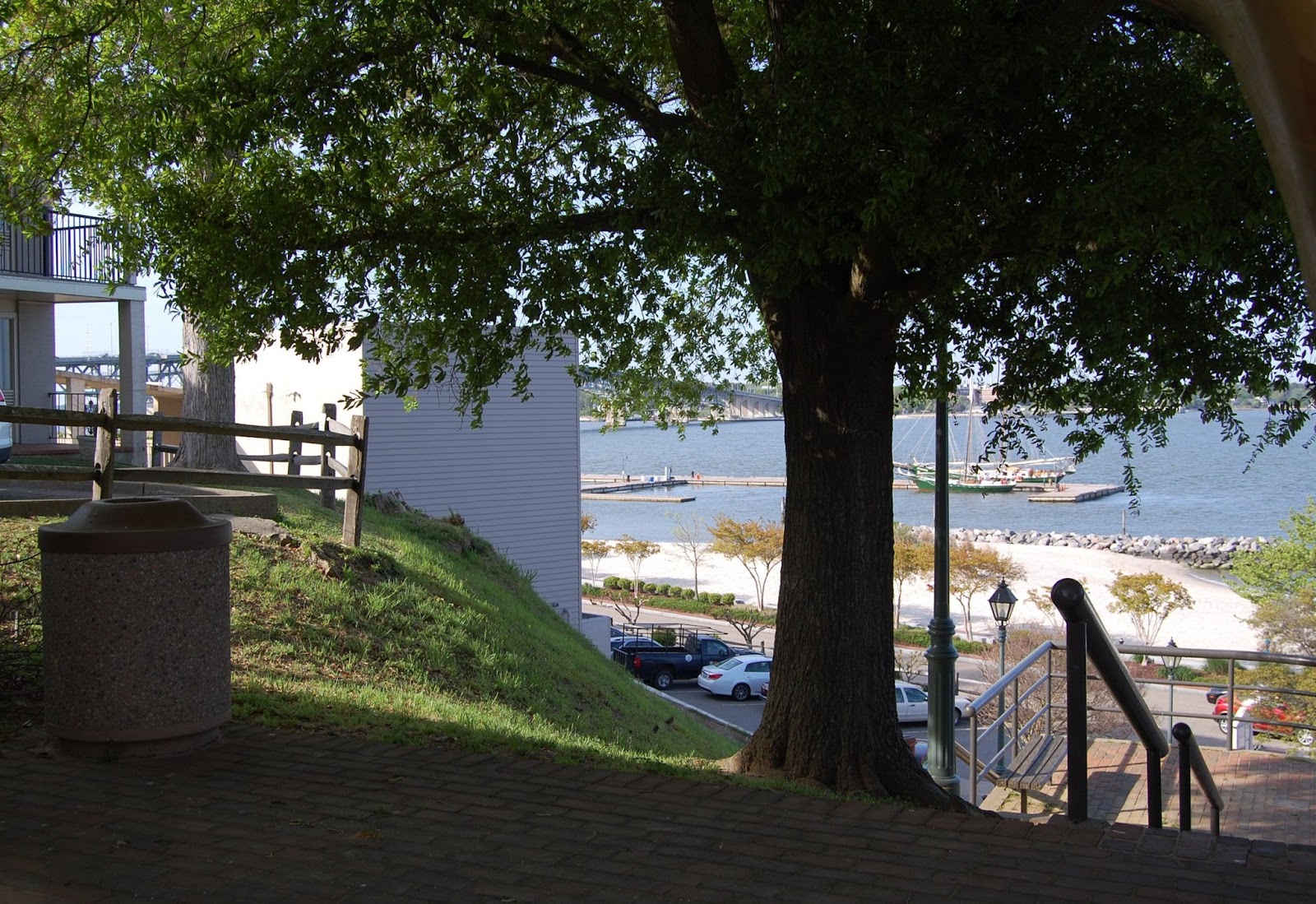
     Last week, on April 26, I had my first opportunity to visit the Yorktown, Virginia area. I set off on this adventure as part of a family visit. One of my stepdaughter's husband is stationed near there, and spending time with them was a welcome opportunity to see the sights. Initially, having no preconceived notions of what the battlefield park offered, I had one very specific goal, and that was to visit the Moore House, site of the October 18, 1781 surrender negotiations of British General Cornwallis's army. That event was the opening door to the final cessation of hostilities during the Revolutionary War. However, my primary focus was, predictably some would say, to examine the 1862 Civil War connection to the site, as well as the unfounded rumor that Colonial-era Governor Alexander Spotswood was buried on the property. (therein is my Spotsylvania County connection, and excuse for posting about it here.) Below, is a May 1862 Gardner photograph of the Moore House, showing damage it suffered during the first month of the Peninsula Campaign, April 5 to May 4, 1862. Ironically, the structure had escaped damage during the 1781 conflict, having been located well east of that fighting's concentration. Today it is beautifully restored and managed by the National Park Service, as seen in the modern view. This view is looking roughly 112 degrees southeast. 

 
     Arriving at the park's visitor center, I began to formulate where I would need to go to focus on the Civil War  story, of which very little is presented. Taking a fast perusal of the souvenir/book store, I was delighted to find a thin, but quite informative book entitled, A Guide To Civil War Yorktown, by Dr. Thomas Adrian Wheat, Col. USA Retired. Within its 46 pages was a well designed walking tour of the siege works and the town itself, all based around Civil War era images. Included are some well detailed maps that provide the location and direction of each image. It does not, however, provide modern comparison images, but they are easily ascertained with the use of the maps provided.  Having set out on my adventure with only two predetermined 1862 images on hand, I was extremely pleased to have found this volume. Armed with it, I was now able to assemble some interesting then and now comparisons. I recommend that visitors seek out this guide. Without it I would have been at a loss to understand how the 1862 campaign utilized a good portion of the former British fortifications. Beginning with the photo below, I will present some of the images covered in the book. I have attempted to create as accurate modern views as I could, but I acknowledge that some could benefit from a bit of tweaking. Two in particular have been deliberately shifted, slightly, to adjust for modern obstructions. Be sure to click on any image for larger viewing.


 Looking roughly 150 degrees southeast along a portion of the
 Confederate, "High Bastion", near the visitor center.

 Looking roughly 278 degrees west, within "High Bastion", toward the visitor center.

 On Main Street, looking northwest, from in front of the Nelson House, in the town.

 On Main Street, looking southeast. The Courthouse is on the left.

 A battery of eight-inch Columbiads, on the east side of Church Street,
 near Grace Episcopal Church. The view is looking southeast.

 Looking roughly northward at the end of Church Street, across the York River,
 with Glocester Point on the opposite shore. The modern view is shifted slightly.

 The Sessions House and the Nelson House, looking southwest, from within a deep ravine.
The Nelson House was used as a hospital in 1862, and had been Cornwallis' headquarters in 1781.
 Attempting to achieve the same modern view is difficult due to current vegetation.
 Moving forward of the vegetation provides a similar, but not identical view. The ravine is evident.
     The Custom House on Main Street at the corner of Read Street, looking south. Photograph by George Barnard. The building served as headquarters for Confederate General John B. Magruder. The ruins of the Ambler House are at right. It was destroyed most likely by Federal incendiary shells, around May 3, 1862, during the Confederate evacuation of the town.